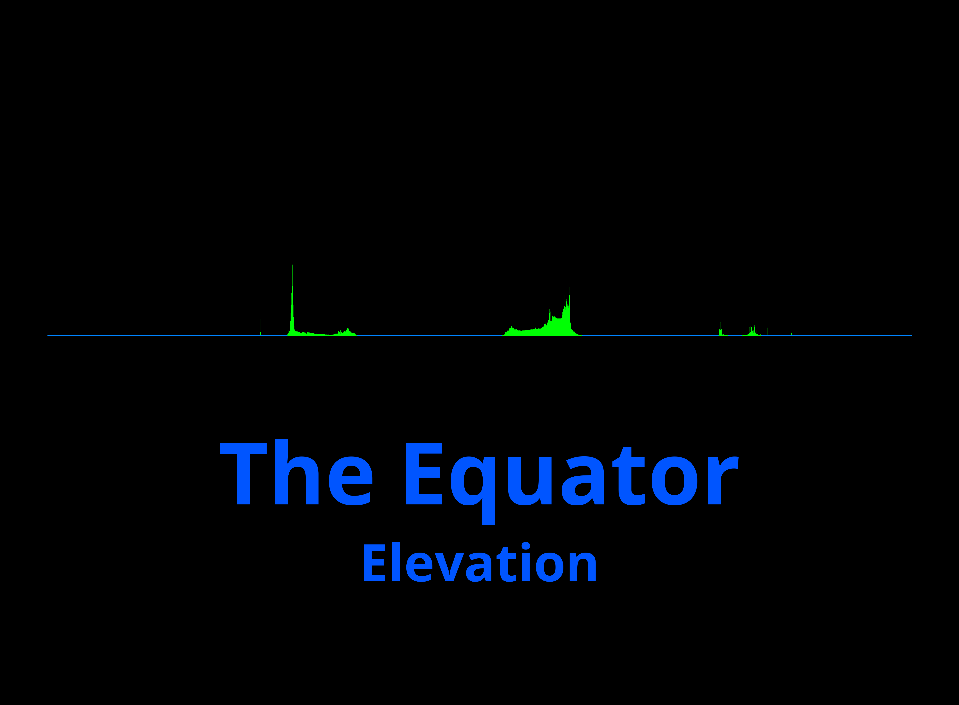
Playing around with elevation data, I put together a visualization of the elevation around the equator. The left starts at the date line in the Pacific, going east.
The first part of land is South America, at Ecuador, Colombia and Brazil. It then continues in Gabon, DR Congo, Uganda, Kenya and Somalia in Africa and Indonesia in Asia.

And if it’s round.
